Trump Sparks Outrage With AI Image Showing Canada, Greenland, Cuba and Venezuela as U.S. Territory


/https%3A%2F%2Fcdn-tor.buminteractif.com%2F2026%2F07%2F14184808%2Ftrump-werwe5345ghdf.jpg)
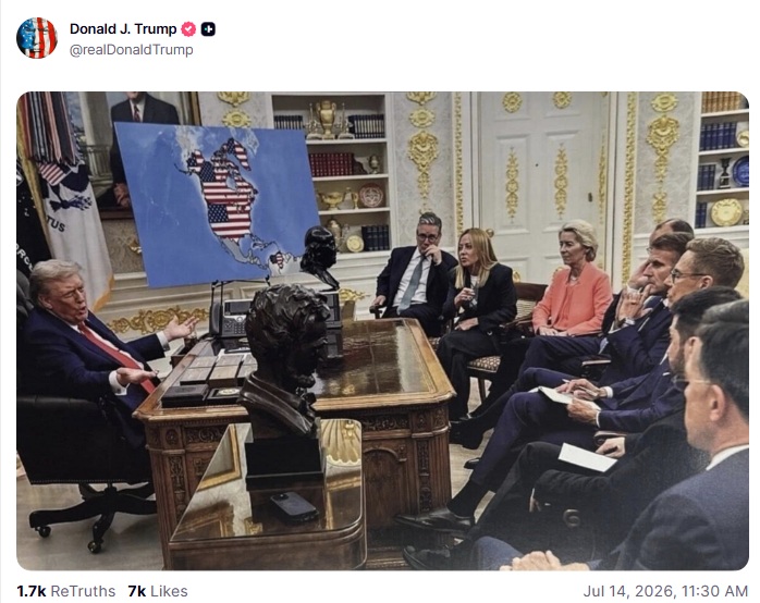
Donald Trump revived his expansionist imagery on Tuesday, July 14, by sharing an altered photograph on Truth Social that depicts Canada, Greenland and Venezuela as territory belonging to the United States. The image shows Trump seated behind the Resolute Desk as several prominent European leaders face a large map of the Western Hemisphere covered with the American flag. Trump published the picture without a caption or explanation, leaving the provocative visual to carry the message. The image had first appeared on his account in January, but its republication came during another period of intense diplomatic pressure involving Greenland, strained relations with Canada and disagreements with European members of NATO. By sharing it again, Trump returned attention to territorial ambitions that foreign governments have repeatedly rejected while reinforcing the imagery among his political supporters.
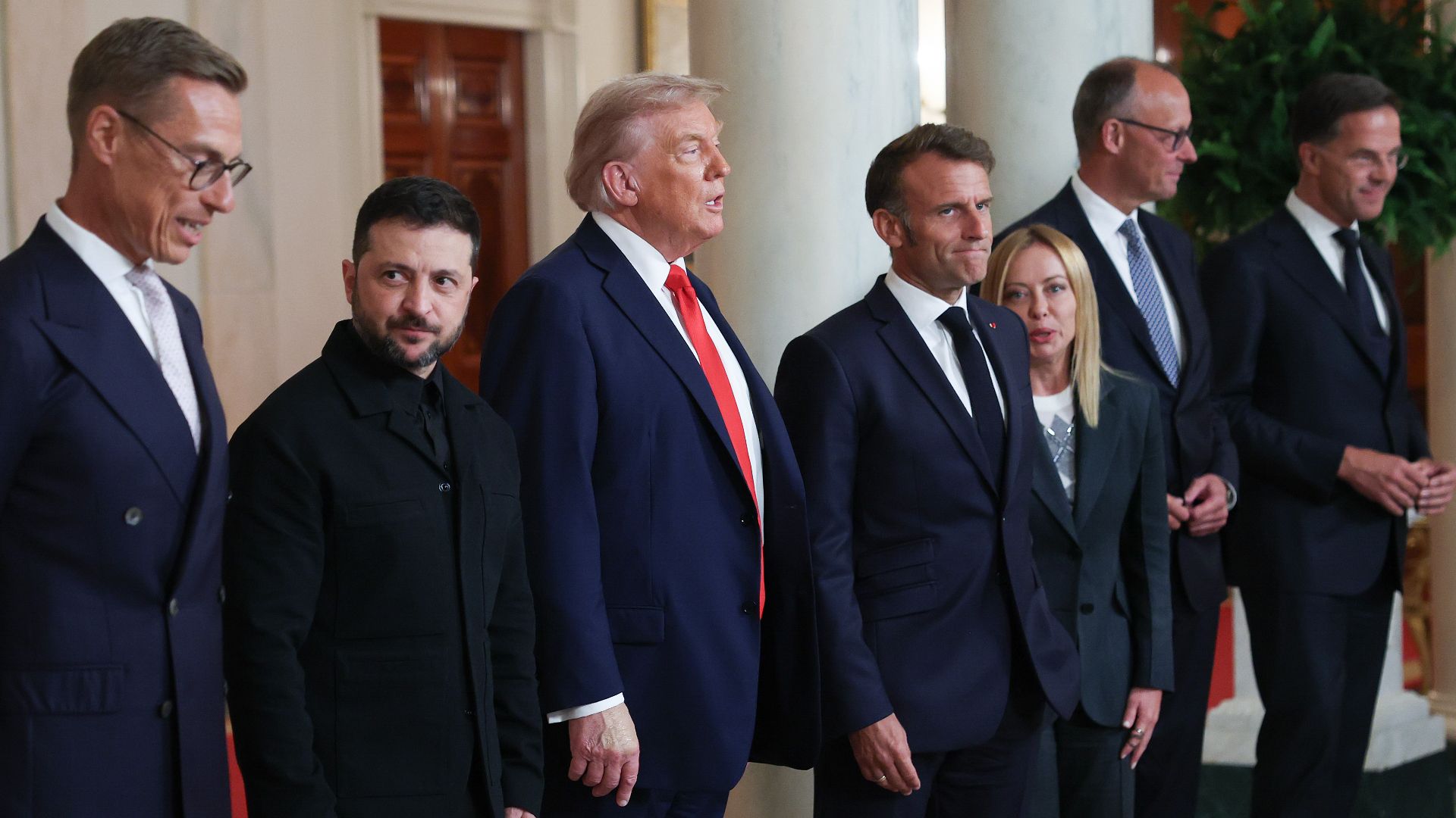
The altered scene is based on an authentic White House photograph taken during an Aug. 18 meeting devoted to the war in Ukraine. In the original image, Trump was surrounded by Ukrainian President Volodymyr Zelenskyy, British Prime Minister Keir Starmer, Italian Prime Minister Giorgia Meloni, European Commission President Ursula von der Leyen, German Chancellor Friedrich Merz, French President Emmanuel Macron, Finnish President Alexander Stubb and NATO Secretary-General Mark Rutte. The leaders were looking toward a map illustrating Russian-held territory in Ukraine as they discussed security guarantees and possible steps toward ending the conflict. In the manipulated version, that material has been replaced by a map presenting Canada, Greenland and Venezuela as components of an expanded United States, transforming a serious diplomatic meeting into a visual display of American territorial dominance.
U.S. allies
The renewed post also reflected a broader pattern in Trump's messaging toward the three territories displayed on the map. He has repeatedly described Canada as a potential 51st state, continued pressing for American control of Greenland and promoted imagery portraying Venezuela as falling under Washington's authority. Trump has defended his interest in Greenland as a national-security necessity tied to Arctic competition, mineral resources and the growing presence of Russia and China, but Danish and Greenlandic officials have consistently maintained that the island is not available for acquisition. His treatment of Canada as a possible American state has similarly damaged relations with Ottawa and contributed to Canadian efforts to reduce their economic and strategic dependence on the United States. Against that background, the image appeared less like an isolated joke than a calculated reminder of positions that have already unsettled several U.S. allies.
Supporters of the president quickly embraced the repost, arguing the image represented deliberate political theater rather than a literal territorial proposal. Across Truth Social, X and other social media platforms, many praised Trump for what they described as masterful online trolling intended to provoke international media organizations, foreign governments and political opponents. Others argued the repost reinforced Trump's longstanding “America First” message by projecting strength at a moment of heightened geopolitical tensions. Because the image appeared without any accompanying explanation, users were left to interpret its meaning themselves, further amplifying debate online. The lack of commentary also allowed supporters and critics alike to attach their own narratives to the image, helping it spread rapidly across multiple social media platforms within hours of its publication.
The reaction outside Trump's political base was markedly different. Social media users from Canada, Venezuela and Denmark rapidly launched counter-campaigns featuring verified, unaltered maps of their own countries to symbolically reaffirm their national sovereignty. Hundreds of satirical memes soon followed, many depicting foreign nations humorously annexing parts of the United States in response to Trump's AI-generated image. Others edited world maps to show Europe, Canada or Latin American countries absorbing American territory, turning the controversy into a viral exchange of competing political imagery. The online response mirrored the backlash that followed Trump's original January post, once again illustrating how AI-generated content has become an increasingly powerful tool for political messaging while simultaneously providing critics with material for equally viral counter-campaigns.
Modern political communication
The repost also arrived during one of the most diplomatically sensitive periods of Trump's presidency, as disputes involving Greenland, Canada and broader NATO relations continue dominating international discussions. Although the image contained no written statement, its timing ensured that it would be interpreted through the lens of the administration's recent foreign policy positions toward the Arctic, North America and the Western Hemisphere. Whether intended as satire, political branding or a symbolic reaffirmation of previous ambitions, the altered photograph immediately reignited debate over Trump's expansionist rhetoric and the growing role of AI-generated imagery in modern political communication. As governments increasingly confront the influence of manipulated visuals online, Trump's latest Truth Social post demonstrated once again how a single image can dominate international headlines without a single word of explanation.
Created by humans, assisted by AI.
 Trump brings back Greenland threat at NATO meeting
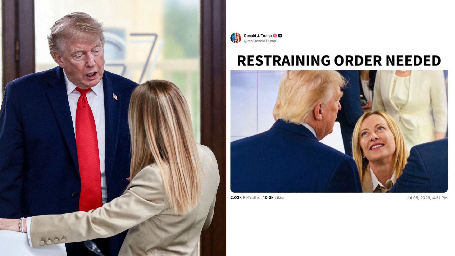 rump claims he needs a restraining order against Italy's Giorgia Meloni before NATO summit